
File:St Michael's Mount map 1946.png
Size of this preview: 421 × 480 pixels.
| |
This is a file from the Wikimedia Commons. Information from its description page there is shown below.
Commons is a freely licensed media file repository. You can help. |
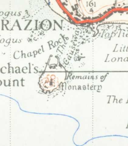
| Description | St Michael's Mount from 1946. Scale 1 inch to the mile 600DPI Sheet 189 |
| Date | 1946 |
| Source | OS |
| Author | OS |
| Permission ( Reusing this file) |
none needed |
 |
This work is in the public domain worldwide because it is an Ordnance Survey map over 50 years old. Ordnance Survey maps are covered by Crown Copyright which in this case expires 50 years after publication. Ordnance Survey does however ask that they be credited and that the date of publication be given. Any ancillary rights gained through the creation of the electronic version are granted as freely usable under any circumstances. |
File usage
The following pages on Schools Wikipedia link to this image (list may be incomplete):
Find out about Schools Wikipedia
Wikipedia for Schools is one of SOS Children's many educational projects. SOS Children's Villages believes that a decent childhood is essential to a happy, healthy. Our community work brings families new opportunities through education, healthcare and all manner of support. We have helped children in Africa for many years - you can help too...