
File:Shetland UK location map.svg
Size of this preview: 252 × 479 pixels.
| |
This is a file from the Wikimedia Commons. Information from its description page there is shown below.
Commons is a freely licensed media file repository. You can help. |
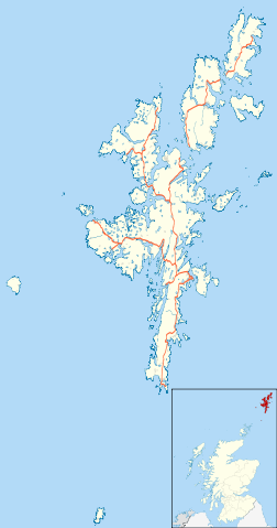
| Description | Blank map of the Shetland Islands, UK with the following information shown:
Equirectangular map projection on WGS 84 datum, with N/S stretched 200% Geographic limits:
|
|||||
| Date | 26 September 2010 | |||||
| Source | Ordnance Survey OpenData.
|
|||||
| Author | Nilfanion, created using Ordnance Survey data | |||||
| Permission ( Reusing this file) |
|
File usage
The following pages on Schools Wikipedia link to this image (list may be incomplete):
Metadata
Learn more about Schools Wikipedia
Schools Wikipedia was created by children's charity SOS Children. Thanks to SOS Children, 62,000 children are enjoying a happy childhood, with a healthy, prosperous future ahead of them. Why not try to find out more about sponsoring a child?