
File:Nord-Pas-de-Calais region location map.svg
| |
This is a file from the Wikimedia Commons. Information from its description page there is shown below.
Commons is a freely licensed media file repository. You can help. |
Summary
|
Camera location |
|
This and other images at their locations on: Google Maps - Google Earth - OpenStreetMap | ( Info) |
|---|
| Description |
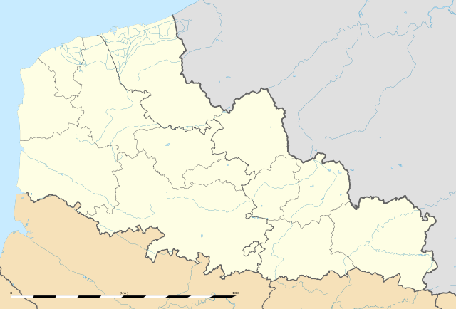
English: Blank administrative map of the region of Nord-Pas-de-Calais, France, as in January 2007, for geo-location purpose, with distinct boundaries for regions, departments and arrondissements.
Français : Carte administrative vierge de la région Nord-Pas-de-Calais, France, telle qu'en janvier 2007, destinée à la géolocalisation, avec limite distincte des régions, départements et arrondissements.
Estimated scale: 1:520,000 (precision: 130 m)
Geographic limits of the map:
|
||
| Date | August 2011 | ||
| Source | Own work
|
||
| Author | Eric Gaba ( Sting - fr:Sting) | ||
| Permission ( Reusing this file) |
|
This map was improved or created by the Wikigraphists of the Graphic Lab (fr). You can propose images to clean up, improve, create or translate as well.
বাংলা | català | česky | Deutsch | Deutsch (Sie-Form) | Ελληνικά | English | Esperanto | español | suomi | français | עברית | magyar | Հայերեն | italiano | 한국어 | македонски | Bahasa Melayu | Plattdüütsch | Nederlands | occitan | polski | português | română | русский | slovenščina | svenska | татарча/tatarça | Türkçe | українська | 中文 | 中文(简体) | 中文(繁體) | Zazaki | +/−
Licensing
|
File usage
The following pages on Schools Wikipedia link to this image (list may be incomplete):
Metadata
Did you know...?
All five editions of Schools Wikipedia were compiled by SOS Children's Villages. By supporting vulnerable children right through to adulthood, SOS Childrens Villages makes a lasting difference to the lives of thousands of people. Education is a key part of our work, and our schools provide high-quality teaching to the children in our care. Will you help another child today?