
File:Cooks Karte von Neufundland.jpg
| |
This is a file from the Wikimedia Commons. Information from its description page there is shown below.
Commons is a freely licensed media file repository. You can help. |
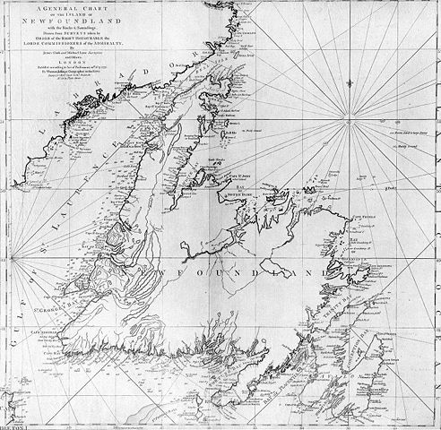
| Description | A general chart of the island of Newfoundland. Surveyed by James Cook and Michael Lane, and "publish'd according to Act of Parliament by Thomas Jefferys Geographer to the King, 1775." |
| Date | 1775 |
| Source | originally uploaded to en.wikipedia by Jcmurphy on 23 Apr 2005; copied from "Courtesy of the Centre for Newfoundland Studies, Memorial University of Newfoundland, St. John's, Newfoundland." |
| Author | Michael Lane and James Cook |
| Permission ( Reusing this file) |
Public domain because of age |
 |
This image (or other media file) is in the public domain because its copyright has expired. This applies to Australia, the European Union and those countries with a copyright term of life of the author plus 70 years.
|
|
|
|
File usage
More information
Schools Wikipedia has been carefully checked to give you the best learning experience. SOS Children's Villages helps more than 2 million people across 133 countries around the world. You can help by sponsoring a child.