
File:British Isles all.svg
Size of this preview: 274 × 479 pixels.
| |
This is a file from the Wikimedia Commons. Information from its description page there is shown below.
Commons is a freely licensed media file repository. You can help. |
Summary
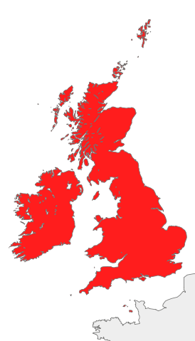
| Description | Map of Great Britain, Ireland, the Isle of Man and the Channel Islands, also known collectively as the British Isles, or the Islands of the North Atlantic
|
| Date | 9 October 2007 |
| Source | Own work |
| Author | Cnbrb |
Licensing
 |
I, the copyright holder of this work, release this work into the public domain. This applies worldwide. In some countries this may not be legally possible; if so: I grant anyone the right to use this work for any purpose, without any conditions, unless such conditions are required by law.
|
File usage
The following pages on Schools Wikipedia link to this image (list may be incomplete):
Metadata
Want to know more?
SOS Children's Villages chose the best bits of Wikipedia to help you learn. SOS Children's Villages helps more than 2 million people across 133 countries around the world. You can help by sponsoring a child.