
File:Thursfield Street, Salford.jpg
Size of this preview: 640 × 449 pixels.
| |
This is a file from the Wikimedia Commons. Information from its description page there is shown below.
Commons is a freely licensed media file repository. You can help. |
| Description |
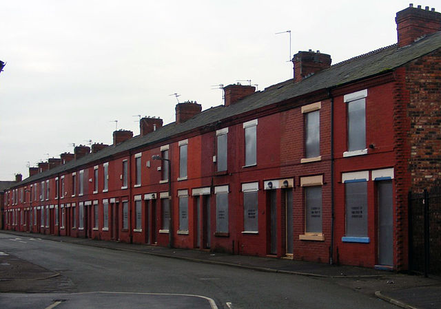
Boarded up houses on Thursfield Street, Salford, Greater Manchester, England. |
| Date | 1 January 2008, 15:25 |
| Source | Thursfield Street, Salford |
| Author | Ian Roberts |
|
Camera location |
|
View this and other nearby images on: Google Maps - Google Earth - OpenStreetMap | ( Info) |
|---|
| This is a retouched picture, which means that it has been digitally altered from its original version. Modifications: cropped and flipped for composition. Also amended levels and colours for detail..
|
Licensing
| This file is licensed under the Creative Commons Attribution-Share Alike 2.0 Generic license. | ||
|
| This image, originally posted to Flickr, was reviewed on 22 January 2009 by the administrator or reviewer PeterSymonds, who confirmed that it was available on Flickr under the stated license on that date. |
File usage
The following pages on Schools Wikipedia link to this image (list may be incomplete):
Metadata
Want to know more?
All five editions of Schools Wikipedia were compiled by SOS Children's Villages. More than 2 million people benefit from the global charity work of SOS Childrens Villages, and our work in 133 countries around the world is vital to ensuring a better future for vulnerable children. Try to find out how you can help children in other countries on our web site.