
File:VCT orthographic.svg
Size of this preview: 480 × 480 pixels.
| |
This is a file from the Wikimedia Commons. Information from its description page there is shown below.
Commons is a freely licensed media file repository. You can help. |
Summary
| Description |
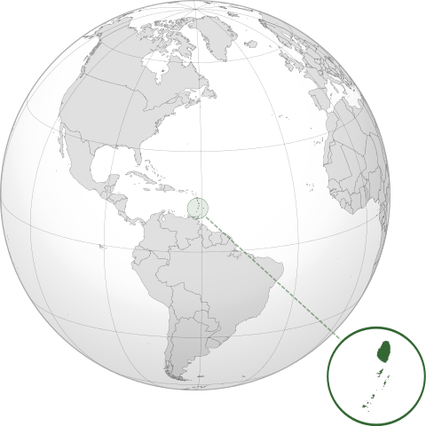
English: Orthographic map of Saint Vincent and the Grenadines centered at 17° N, 62° W.
Official territory.
Claimed territories.
|
||
| Date | 8 July 2012 | ||
| Source | Own work with Natural Earth Data
|
||
| Author | Addicted04 |
Licensing
|
File usage
The following pages on Schools Wikipedia link to this image (list may be incomplete):
Metadata
Find out more
You can learn about nearly 6,000 different topics on Schools Wikipedia. SOS Children's Villages works in 133 countries and territories across the globe, helps more than 62,000 children, and reaches over 2 million people in total. Will you help another child today?