
File:Mercia map.svg
Size of this preview: 441 × 480 pixels.
| |
This is a file from the Wikimedia Commons. Information from its description page there is shown below.
Commons is a freely licensed media file repository. You can help. |
Summary
| Description |
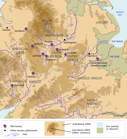
English: A map of Mercia, made using information from OpenStreetMap, Hill 'An Atlas of Anglo-Saxon England' and Stenton, 'Anglo-Saxon England'
|
| Date | 15 July 2012 |
| Source | Own work |
| Author | Hel-hama |
Licensing
|
File usage
The following pages on Schools Wikipedia link to this image (list may be incomplete):
Metadata
Schools Wikipedia facts
This selection has made Wikipedia available to all children. The world's largest orphan charity, SOS Children brings a better life to more than 2 million people in 133 countries around the globe. Have you thought about sponsoring a child?