
File:Fort Charlotte, Lerwick - geograph.org.uk - 17910.jpg
Fort_Charlotte,_Lerwick_-_geograph.org.uk_-_17910.jpg (640 × 480 pixels, file size: 122 KB, MIME type: image/jpeg)
| |
This is a file from the Wikimedia Commons. Information from its description page there is shown below.
Commons is a freely licensed media file repository. You can help. |
Summary
| Description |
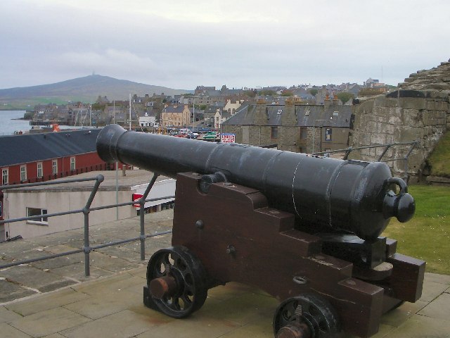
English: Fort Charlotte, Lerwick. This 18th century fort has good views over Lerwick harbour.
|
| Date | 25 May 2005 |
| Source | From geograph.org.uk |
| Author | Lis Burke |
|
Camera location |
|
This and other images at their locations on: Google Maps - Google Earth - OpenStreetMap | ( Info) |
|---|
Licensing
 |
This image was taken from the Geograph project collection. See this photograph's page on the Geograph website for the photographer's contact details. The copyright on this image is owned by Lis Burke and is licensed for reuse under the Creative Commons Attribution-ShareAlike 2.0 license. |
| This file is licensed under the Creative Commons Attribution-Share Alike 2.0 Generic license. | ||
| Attribution: Lis Burke | ||
|
File usage
The following pages on Schools Wikipedia link to this image (list may be incomplete):
Metadata
Schools Wikipedia facts
Through Schools Wikipedia, SOS Childrens Villages has brought learning to children around the world. SOS Children is there for the children in our care until they are ready for independence. Why not try to learn more about child sponsorship?