
File:Two-point-equidistant-asia.jpg
Size of this preview: 640 × 478 pixels.
| |
This is a file from the Wikimedia Commons. Information from its description page there is shown below.
Commons is a freely licensed media file repository. You can help. |
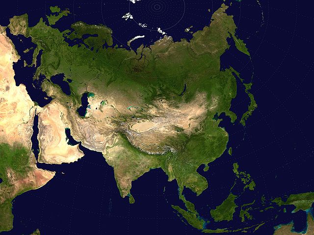
{{en|Eurasian steppe belt map.
- A Two Point Equidistant projection of Asia. The control points are at 35N 40E and 35N 140E.
- The reticle is 10 degrees in latitude and longitude, with the central meridian at 90E.
- The source image is a product of NASA's Blue Marble project.
 |
I, the copyright holder of this work, release this work into the public domain. This applies worldwide. In some countries this may not be legally possible; if so: I grant anyone the right to use this work for any purpose, without any conditions, unless such conditions are required by law.
|
derivative works
Derivative works of this file:
File usage
Learn more
Wikipedia for Schools is one of SOS Childrens Villages' many educational projects. SOS Children is there for the children in our care until they are ready for independence. There are many ways to help with SOS Childrens Villages.