
File:Palmyra Atoll - Landsat Image N-03-05 2000 (1-50,000).jpg
Size of this preview: 640 × 444 pixels.
| |
This is a file from the Wikimedia Commons. Information from its description page there is shown below.
Commons is a freely licensed media file repository. You can help. |
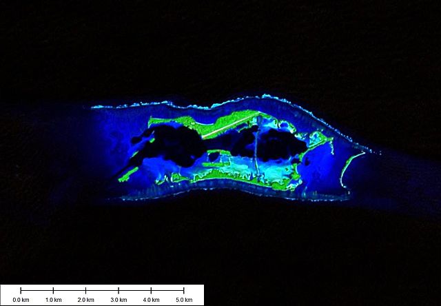
| Description | Island map created using Landsat ETM+ Imagery (N-03-05_2000) and Marplot Mapping Software |
| Date | 17 February 2007 |
| Source | Own Work & Landsat ETM+ Imagery |
| Author | Peter Minton |
| Permission ( Reusing this file) |
Attribution ShareAlike 2.5 |
| This file is licensed under the Creative Commons Attribution-Share Alike 2.5 Generic license. | ||
|
File usage
The following pages on Schools Wikipedia link to this image (list may be incomplete):
Want to know more?
SOS Children's Villages chose the best bits of Wikipedia to help you learn. SOS Children's Villages helps more than 2 million people across 133 countries around the world. Will you help another child today?