
File:The king Abdullah Financial District..JPG
Size of this preview: 640 × 386 pixels.
| |
This is a file from the Wikimedia Commons. Information from its description page there is shown below.
Commons is a freely licensed media file repository. You can help. |
Summary
|
Camera location |
|
View this and other nearby images on: Google Maps - Google Earth - OpenStreetMap | ( Info) |
|---|
| Description |
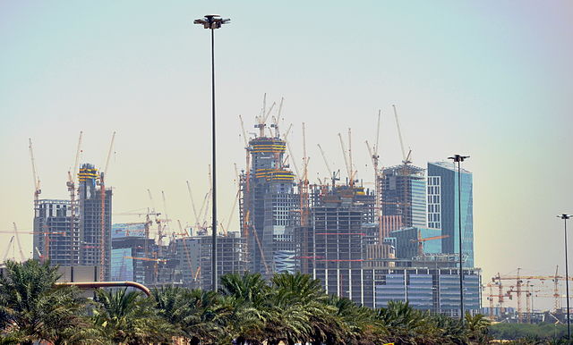
العربية: مركز الملك عبد الله المالي مدينة الرياض
العربية: The king Abdullah Financial District.
Riyadh Saudi Arabia |
| Date | 31 August 2012 |
| Source | Own work |
| Author | haitham alfalah |
http://www.kingabdullahfinancialdistrict.com/html/english/home_en.aspx
Licensing
|
File usage
The following pages on Schools Wikipedia link to this image (list may be incomplete):
Metadata
A background to Schools Wikipedia
Through Schools Wikipedia, SOS Childrens Villages has brought learning to children around the world. More than 2 million people benefit from the global charity work of SOS Children, and our work in 133 countries around the world is vital to ensuring a better future for vulnerable children. Have you heard about child sponsorship? Visit our web site to find out.