
File:USA Puerto Rico labeled.svg
Size of this preview: 640 × 197 pixels.
| |
This is a file from the Wikimedia Commons. Information from its description page there is shown below.
Commons is a freely licensed media file repository. You can help. |
| Description |
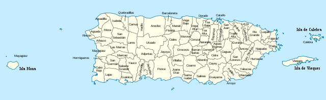
Deutsch: Positionskarte von Puerto Rico, USA Quadratische Plattkarte, N-S-Streckung 105 %. Geographische Begrenzung der Karte: * N: 19.0° N * S: 17.5° N * W: 68.0° W * O: 65.2° W English: Location map of Puerto Rico, USA Equirectangular projection, N/S stretching 105 %. Geographic limits of the map: * N: 19.0° N * S: 17.5° N * W: 68.0° W * E: 65.2° W |
| Date | 2010-03-24 20:33 (UTC) |
| Source |
|
| Author |
|
| This is a retouched picture, which means that it has been digitally altered from its original version. Modifications: added labels. The original can be viewed here: USA_Puerto_Rico_location_map.svg. Modifications made by kmusser.
|
|
File usage
The following pages on Schools Wikipedia link to this image (list may be incomplete):
Metadata
Schools Wikipedia facts
All five editions of Schools Wikipedia were compiled by SOS Children's Villages. SOS Children's Villages helps those who have nothing and no one, giving them back the famly they have lost and bringing them the very best opportunities for a happy, healthy future. There are many ways to help with SOS Children's Villages.