
File:NO 0301 Oslo.svg
Size of this preview: 339 × 479 pixels.
| |
This is a file from the Wikimedia Commons. Information from its description page there is shown below.
Commons is a freely licensed media file repository. You can help. |
| Description |
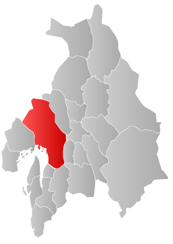
Norsk bokmål: Kart som viser Maps of Oslos plassering innen Akershus, laga av Jon Harald Søby.
English: Map showing the position of Maps of Oslo within Akershus, made by Jon Harald Søby.
Svenska: Karta som visar Maps of Oslo kommuns läge i Akershus fylke, skapad av Jon Harald Søby.
|
||
| Date | December 15, 2006 | ||
| Source | Own work | ||
| Author | Jon Harald Søby | ||
| Permission ( Reusing this file) |
|

File usage
The following pages on Schools Wikipedia link to this image (list may be incomplete):
Metadata
Find out about Schools Wikipedia
This selection has made Wikipedia available to all children. The world's largest orphan charity, SOS Children's Villages brings a better life to more than 2 million people in 133 countries around the globe. We have helped children in Africa for many years - you can help too...