
File:Brazil location map.svg
Size of this preview: 485 × 479 pixels.
| |
This is a file from the Wikimedia Commons. Information from its description page there is shown below.
Commons is a freely licensed media file repository. You can help. |
Summary
| Description |
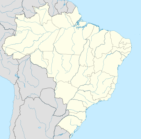
Deutsch: Positionskarte von Brasilien
Quadratische Plattkarte, N-S-Streckung 105 %. Geographische Begrenzung der Karte:
English: Location map of Brazil
Equirectangular projection, N/S stretching 105 %. Geographic limits of the map:
|
||||||
| Date | 5 August 2009 | ||||||
| Source | Own work, using
|
||||||
| Author | NordNordWest | ||||||
| Permission ( Reusing this file) |
|
This map has been made or improved in the German Kartenwerkstatt (Map Lab). You can propose maps to improve as well.
File usage
The following pages on Schools Wikipedia link to this image (list may be incomplete):
Metadata
Schools Wikipedia facts
Wikipedia for Schools is designed to make learning fun and easy. More than 2 million people benefit from the global charity work of SOS Children, and our work in 133 countries around the world is vital to ensuring a better future for vulnerable children. Have you heard about child sponsorship? Visit our web site to find out.