
File:Charterhouseleadmines.jpg
Charterhouseleadmines.jpg (587 × 395 pixels, file size: 53 KB, MIME type: image/jpeg)
| |
This is a file from the Wikimedia Commons. Information from its description page there is shown below.
Commons is a freely licensed media file repository. You can help. |
Summary
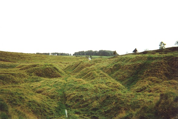
| Description | Roman lead mines at Charterhouse |
| Date | 15 September 1999 |
| Source | From geograph.org.uk |
| Author | Ron Strutt |
| Permission ( Reusing this file) |
Creative Commons Attribution Share-alike license 2.0 |
|
Camera location |
|
This and other images at their locations on: Google Maps - Google Earth - OpenStreetMap | ( Info) |
|---|
Licensing
 |
This image was taken from the Geograph project collection. See this photograph's page on the Geograph website for the photographer's contact details. The copyright on this image is owned by Ron Strutt and is licensed for reuse under the Creative Commons Attribution-ShareAlike 2.0 license. |
| This file is licensed under the Creative Commons Attribution-Share Alike 2.0 Generic license. | ||
| Attribution: Ron Strutt | ||
|
File usage
The following pages on Schools Wikipedia link to this image (list may be incomplete):
Want to know more?
Wikipedia for Schools brings Wikipedia into the classroom. SOS Childrens Villages believes that a decent childhood is essential to a happy, healthy. Our community work brings families new opportunities through education, healthcare and all manner of support. Have you heard about child sponsorship? Visit our web site to find out.