
File:Linlithgow Palace - geograph.org.uk - 1416190.jpg
Linlithgow_Palace_-_geograph.org.uk_-_1416190.jpg (640 × 411 pixels, file size: 61 KB, MIME type: image/jpeg)
| |
This is a file from the Wikimedia Commons. Information from its description page there is shown below.
Commons is a freely licensed media file repository. You can help. |
Summary
| Description |
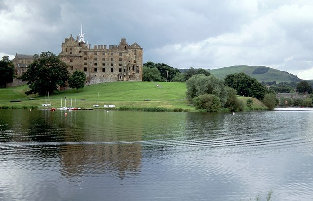
English: Linlithgow Palace From across Linlithgow Loch; the palace ruins are on a promontory. http://canmore.rcahms.gov.uk/en/site/49261/details/linlithgow+linlithgow+palace/
|
| Date | 4 July 2005 |
| Source | From geograph.org.uk |
| Author | Derek Harper |
|
Camera location |
|
This and other images at their locations on: Google Maps - Google Earth - OpenStreetMap | ( Info) |
|---|
Licensing
 |
This image was taken from the Geograph project collection. See this photograph's page on the Geograph website for the photographer's contact details. The copyright on this image is owned by Derek Harper and is licensed for reuse under the Creative Commons Attribution-ShareAlike 2.0 license. |
| This file is licensed under the Creative Commons Attribution-Share Alike 2.0 Generic license. | ||
| Attribution: Derek Harper | ||
|
File usage
The following pages on Schools Wikipedia link to this image (list may be incomplete):
Schools Wikipedia facts
Wikipedia for Schools is one of SOS Children's Villages' many educational projects. The world's largest orphan charity, SOS Children brings a better life to more than 2 million people in 133 countries around the globe. Sponsoring a child is a great way to help children who need your support.