 |
This is a file from the Wikimedia Commons. Information from its description page there is shown below.
Commons is a freely licensed media file repository. You can help.
|
Summary
| Description |
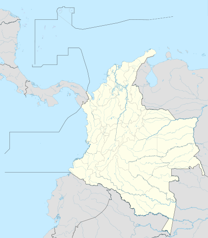
English: Location map of Colombia
Equirectangular projection. Geographic limits of the map:
- N: 16.78333 N
- S: 4.45 S
- W: 85.2 W
- E: 66.53333 W
|
| Date |
15 October 2009 |
| Source |
own work, using Demis data |
| Author |
Shadowxfox |
Licensing
|
I, the copyright holder of this work, hereby publish it under the following license:
|
File usage
The following pages on Schools Wikipedia link to this image (list may be incomplete):
This file contains additional information, probably added from the digital camera or scanner used to create or digitize it. If the file has been modified from its original state, some details may not fully reflect the modified file.
Schools Wikipedia was launched to make learning available to everyone. SOS Childrens Villages believes that a decent childhood is essential to a happy, healthy. Our community work brings families new opportunities through education, healthcare and all manner of support. Have you thought about sponsoring a child?


