
File:Queen Mary & Westfield College.jpg
Queen_Mary_&_Westfield_College.jpg (640 × 480 pixels, file size: 104 KB, MIME type: image/jpeg)
| |
This is a file from the Wikimedia Commons. Information from its description page there is shown below.
Commons is a freely licensed media file repository. You can help. |
|
Camera location |
|
This and other images at their locations on: Google Maps - Google Earth - OpenStreetMap | ( Info) |
|---|
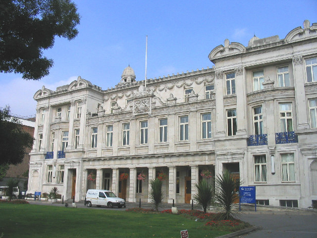
| Description | Queen Mary & Westfield College, Mile End |
| Date | 3 September 200 |
| Source | Geograph (see below) |
| Author | John Winfield |
| Permission ( Reusing this file) |
licensed by author under Creative Commons Attribution-ShareAlike 2.0 |
 |
This image was taken from the Geograph project collection. See this photograph's page on the Geograph website for the photographer's contact details. The copyright on this image is owned by John Winfield and is licensed for reuse under the Creative Commons Attribution-ShareAlike 2.0 license. |
| This file is licensed under the Creative Commons Attribution-Share Alike 2.0 Generic license. | ||
| Attribution: John Winfield | ||
|
File usage
The following pages on Schools Wikipedia link to this image (list may be incomplete):
Metadata
A background to Schools Wikipedia
Schools Wikipedia has made the best of Wikipedia available to students. SOS Children's Villages helps more than 2 million people across 133 countries around the world. Have you heard about child sponsorship? Visit our web site to find out.