
File:España-Canarias-loc.svg
| |
This is a file from the Wikimedia Commons. Information from its description page there is shown below.
Commons is a freely licensed media file repository. You can help. |
Summary
| Description |
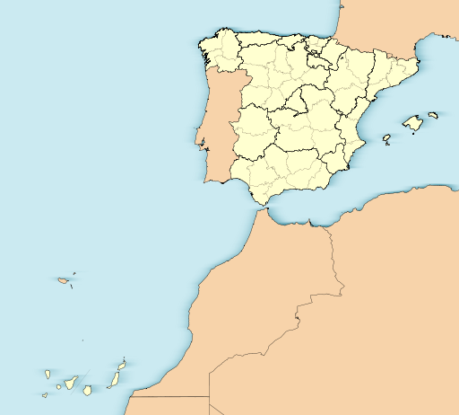
English: Location map of Spain with the Canary Islands
Equirectangular projection, N/S stretching 130 %. Geographic limits of the map:
Español: Mapa de localización de España con la Islas Canarias
Proyección equirrectangular (cilíndrica equidistante), N/S estirada 130 %. Límites geográficos del mapa:
|
| Date | 18 November 2010 |
| Source | Own work |
| Author | Miguillen |
|
This map has been made or improved in the Spanish Taller de Cartografía (Map Lab). You can propose maps to improve as well.
|
Licensing
|
}}
File usage
The following pages on Schools Wikipedia link to this image (list may be incomplete):
Metadata
The best way to learn
Wikipedia for Schools was collected by SOS Children's Villages. Our 500 Children's Villages provide a home for thousands of vulnerable children. Beyond our Villages, we support communities, helping local people establish better schools and delivering effective medical care to vulnerable children. There are many ways to help with SOS Childrens Villages.