 |
This is a file from the Wikimedia Commons. Information from its description page there is shown below.
Commons is a freely licensed media file repository. You can help.
|
 |
This is an image of a place or building that is listed on the National Register of Historic Places in the United States. Its reference number is 94001610.
|
Summary
| Description |
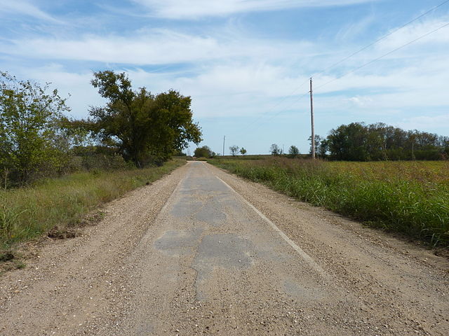
An older "sidewalk highway" segment of Route 66 near Miami, OK. If you look along the edges of the paved section in the middle of the road, you can see the raised "curbs" of concrete that outline the actual pavement. |
| Date |
10 October 2010 |
| Source |
Photograph while travelling |
| Author |
Abraham Ezekowitz |
Permission
( Reusing this file) |
cc-by-sa
|
|
Object location
|
36° 49′ 22.00″ N, 94° 54′ 31.00″ W
|
This and other images at their locations on: Google Maps - Google Earth - OpenStreetMap - Proximityrama |
( Info)36.822778;-94.908611 |
Licensing
File usage
The following pages on Schools Wikipedia link to this image (list may be incomplete):
This file contains additional information, probably added from the digital camera or scanner used to create or digitize it. If the file has been modified from its original state, some details may not fully reflect the modified file.
All five editions of Schools Wikipedia were compiled by SOS Childrens Villages. SOS Childrens Villages believes education is an important part of a child's life. That's why we ensure they receive nursery care as well as high-quality primary and secondary education. When they leave school, we support the children in our care as they progress to vocational training or higher education. There are many ways to help with SOS Children's Villages.


