 |
This is a file from the Wikimedia Commons. Information from its description page there is shown below.
Commons is a freely licensed media file repository. You can help.
|
| Description |
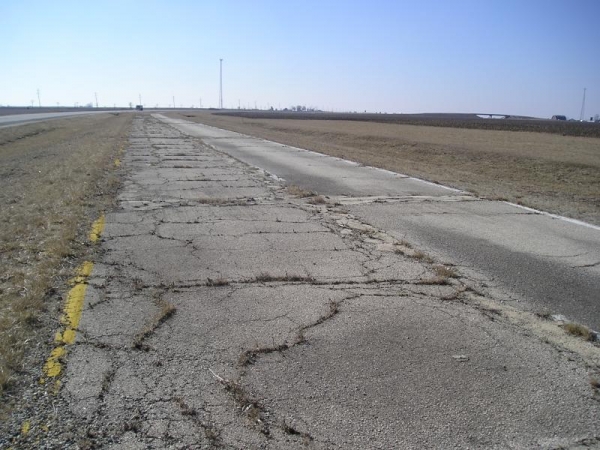
An abandoned early Route 66 en:alignment in southern Illinois in 2006. (Photo courtesy of Shawn Mariani of shawnmariani.com) |
| Date |
2006-07-15 (original upload date) |
| Source |
Originally from en.wikipedia; description page is/was here. |
| Author |
Original uploader was Otchster at en.wikipedia |
Permission
( Reusing this file) |
CC-BY-2.5.
|
|
|
A geocoded location could be added to this image. Visit Commons:Geocoding for information on how to add coordinates. Add coordinates (new tool in testing phase)
|
Licensing

 |
This file is licensed under the Creative Commons Attribution 2.5 Generic license. |
|
|
|
- You are free:
- to share – to copy, distribute and transmit the work
- to remix – to adapt the work
- Under the following conditions:
- attribution – You must attribute the work in the manner specified by the author or licensor (but not in any way that suggests that they endorse you or your use of the work).
http://creativecommons.org/licenses/by/2.5 CC-BY-2.5 Creative Commons Attribution 2.5 truetrue
|
File usage
The following pages on Schools Wikipedia link to this image (list may be incomplete):
SOS Childrens Villages chose the best bits of Wikipedia to help you learn. In 133 nations around the world, SOS Children's Villages works to bring better education and healthcare to families in desperate need of support. If you'd like to help, why not learn how to sponsor a child?


