
File:Park Lane Road sign.jpg
Park_Lane_Road_sign.jpg (640 × 480 pixels, file size: 150 KB, MIME type: image/jpeg)
| |
This is a file from the Wikimedia Commons. Information from its description page there is shown below.
Commons is a freely licensed media file repository. You can help. |
|
Camera location |
|
This and other images at their locations on: Google Maps - Google Earth - OpenStreetMap | ( Info) |
|---|
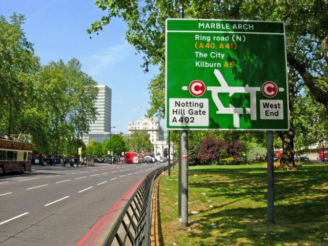
| Description | Park Lane - Running along the eastern side of Hyde Park, Park lane is one of central London's busiest thoroughfares. This view shows the northbound carriageway; the road is divided by a broad central reservation. |
| Date | |
| Source | |
| Author | Stephen McKay |
 |
This image was taken from the Geograph project collection. See this photograph's page on the Geograph website for the photographer's contact details. The copyright on this image is owned by Stephen McKay and is licensed for reuse under the Creative Commons Attribution-ShareAlike 2.0 license. |
| This file is licensed under the Creative Commons Attribution-Share Alike 2.0 Generic license. | ||
| Attribution: Stephen McKay | ||
|
v
File usage
The following pages on Schools Wikipedia link to this image (list may be incomplete):
Metadata
What is Schools Wikipedia?
Wikipedia for Schools was collected by SOS Childrens Villages. More than 2 million people benefit from the global charity work of SOS Children, and our work in 133 countries around the world is vital to ensuring a better future for vulnerable children. Have you heard about child sponsorship? Visit our web site to find out.