
File:Washington, D.C. locator map.svg
Size of this preview: 640 × 469 pixels.
| |
This is a file from the Wikimedia Commons. Information from its description page there is shown below.
Commons is a freely licensed media file repository. You can help. |
| Description |
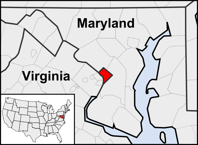
English: This is a map of the location of Washington, D.C. showing the borders of states and counties around it.
|
| Date | 2010-08-12 19:27 (UTC) |
| Source |
|
| Author |
|
| This is a retouched picture, which means that it has been digitally altered from its original version. Modifications: Cropping to area around Washington, D.C.. The original can be viewed here: Blank_USA,_w_territories.svg. Modifications made by Patrickneil.
|
| This file is licensed under the Creative Commons Attribution-Share Alike 3.0 Unported license. | ||
|
File usage
The following pages on Schools Wikipedia link to this image (list may be incomplete):
Metadata
Find out about Schools Wikipedia
Schools Wikipedia was created by children's charity SOS Childrens Villages. SOS Children's Villages is famous for the love and shelter it brings to lone children, but we also support families in the areas around our Children's Villages, helping those who need us the most. Try to find out how you can help children in other countries on our web site.