
File:Nashville TN satellite map cropped.jpg
Size of this preview: 480 × 480 pixels.
| |
This is a file from the Wikimedia Commons. Information from its description page there is shown below.
Commons is a freely licensed media file repository. You can help. |
Summary
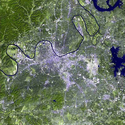
| Description | The raw satellite imagery shown in these images was obtained from NASA and/or the US Geological Survey. Post-processing and production by http://www.terraprints.com |
| Date | 25 October 2006 |
| Source | http://www.terraprints.com |
| Author | http://www.terraprints.com |
Licensing
| This file is licensed under the Creative Commons Attribution 2.5 Generic license. | ||
|
File usage
The following pages on Schools Wikipedia link to this image (list may be incomplete):
Wikipedia for Schools...
Schools Wikipedia was created by children's charity SOS Children's Villages. SOS Childrens Villages helps those who have nothing and no one, giving them back the famly they have lost and bringing them the very best opportunities for a happy, healthy future. Help another child by taking out a sponsorship.