
File:Clark County Nevada Incorporated Areas Las Vegas highlighted.svg
Size of this preview: 430 × 479 pixels.
| |
This is a file from the Wikimedia Commons. Information from its description page there is shown below.
Commons is a freely licensed media file repository. You can help. |
== Summary ==
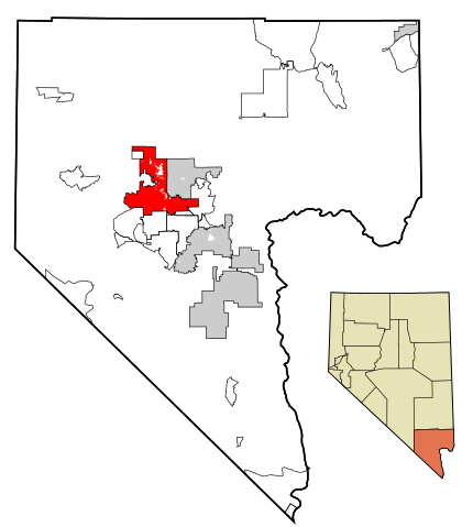
| Description | This map shows the incorporated areas in Clark County, Nevada. Las Vegas is highlighted in red. I created it in using data from the following files: Census 2000 Block Map - Clark County ( PDF) and Southern Nevada Public Lands Management Act Map ( PDF) |
| Date | 17 July 2007 |
| Source | My own work, based on government information. Though I strove to be as accurate in the detail as possible, the information shown is not guaranteed to be completely accurate. |
| Author | Ixnayonthetimmay |
| Permission ( Reusing this file) |
Public Domain |
== Licensing ==
 |
I, the copyright holder of this work, release this work into the public domain. This applies worldwide. In some countries this may not be legally possible; if so: I grant anyone the right to use this work for any purpose, without any conditions, unless such conditions are required by law.
|
File usage
The following pages on Schools Wikipedia link to this image (list may be incomplete):
Metadata
The best way to learn
Wikipedia for Schools is one of SOS Children's Villages' many educational projects. Thanks to SOS Children's Villages, 62,000 children are enjoying a happy childhood, with a healthy, prosperous future ahead of them. Why not try to learn more about child sponsorship?